Outdoor air quality, what it is and how can you address it using Firstplanit
Outdoor air quality, what it is and how can you address it using Firstplanit
- PM2.5 – combustion from vehicles and indoor domestic activities
- PM10 – wood burning, tyre and brake wear, windblown dust and bacteria fragments.
- NO2 – coal, oil, gas or diesel
- PM2.5 – 5 μg/m3 or a higher dose is considered harmful to human health
- PPM10 – 15 μg/m3 or a higher dose is considered harmful to human health
- NO2 – 10 μg/m3 or a higher dose is considered harmful to human health
- PM2.5 – Increased hospital admissions for heart and lung diseases such as –acute and chronic bronchitis, asthma attacks and respiratory systems, restricted activity days and fatigue
- PM10 – Worsening of asthma, worsening of chronic obstructive pulmonary disease.
- NO2 – Aggravating respiratory diseases, shortness of breath and increased coughing in people without underlying respiratory illnesses
- PM2.5 Premature death, reduced lung function growth in children
- PM10 Studies suggest a link to respiratory mortality
- NO2 Development of asthma, reduction in life expectancy in people with respiratory illnesses
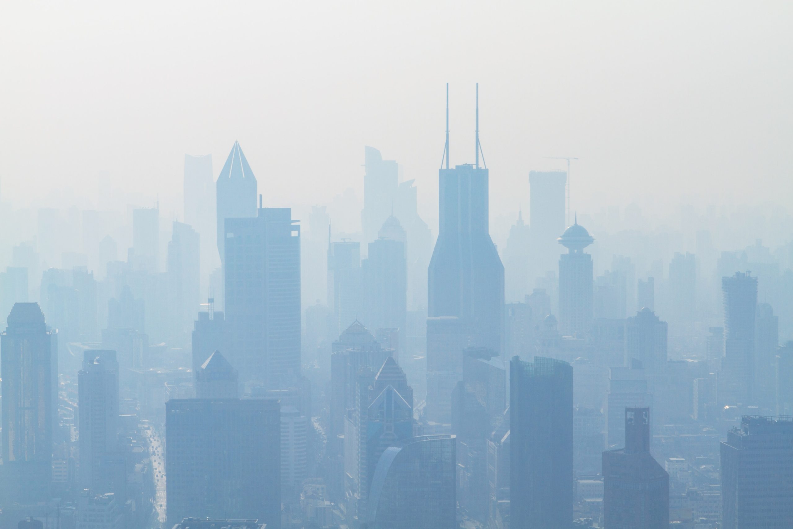
Outdoor air quality is a social issue because pollution strongly correlates with area-level deprivation. For example, in a relatively clean city like London, 46% of the most deprived areas have NO2 concentrations above the EU limit as compared with 2% of the least deprived. And this is despite the fact that London has taken steps to reduce the levels of pollution from traffic, including introducing a congestion charge and encouraging the use of low-emission vehicles.
There has been some progress but, there is still a long way to go. External environmental conditions should become a key consideration for any building decision, no matter how small that decision is – picking paint, insulation or carpet – because the outdoor environment is amplified indoors. Consequently, it is important that individuals are informed about outdoor air quality and how to mitigate its effects.
Firstplanit has created a unique geographic information system (GIS) dashboard that provides location-aware data visualization and analytics for operational views of our users free to use. By inputting the building’s postcode, users will be presented with a novel environmental health risk analysis regarding their NO2, PM2.5 and PM10 concentrations in a 200m radius from their location.
Understanding these levels over a year and overlaying them on top of each other is the best way to understand air quality in your neighbourhood and identify areas of greatest concern. Local Authorities, Developers, Property Owners, Architects can all use this information to build awareness amongst their team and share that with building occupants.

Users can toggle multiple layers on Firstplanit’s mapping tool to understand the prevalence of PM2.5, PM10 and NO2. The legend helps interpret this information by identifying the corresponding risk factor for each block of colour. By creating a tool that doesn’t require expert knowledge to use or interpret, we aim to improve everyone’s understanding around the pollution risks involved in the built environment.
We believe that as summers get hotter and energy costs rise, everyone must feel empowered in making informed choices on how to manage the environments in which we live and work. Firstplanit’s mission is to support informed decision-making-making for all the stakeholders involved in building, running and inhabiting buildings, so that buildings can truly do their job of protecting life, not reducing it.